Up and Down the Swamp Rabbit Trail
In Greenville County, SC sections of a long abandoned railroad track have been paved over and made into a publicly accessible path for walking and bicycling. The path is named the Swamp Rabbit Trail. Pictures show the trail first, as viewed if traveling south-to-north, then, as seen if traveling north-to-south. Northern-most point is at McElhaney Road in Travelers Rest. The southern-most point is Watkins Bridge Road (County Road 133). Zoom in on this Google map to see the path. Pictures were taken in late March, 2010.
Part I: From Watkins Bridge Road North To Travelers Rest
 |
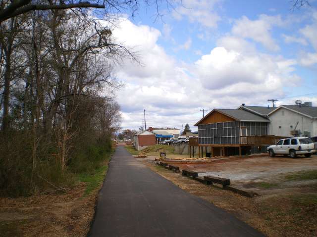
Swamp Rabbit Trail Late March 2010 South end of the paved trail, at Watkins Bridge Road. |
 |
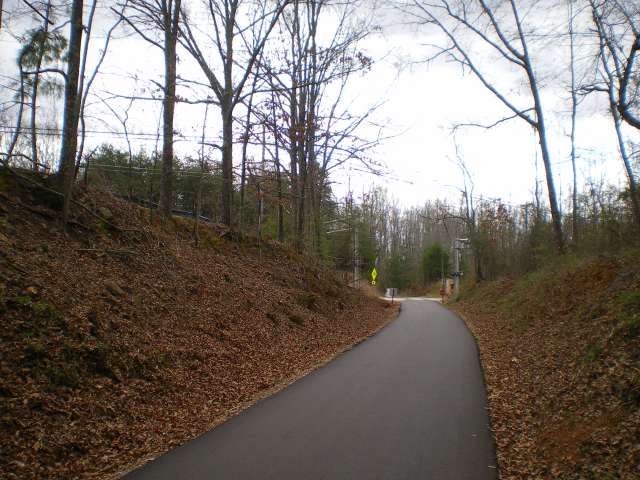
Swamp Rabbit Trail Late March 2010 Looking north. |
 |
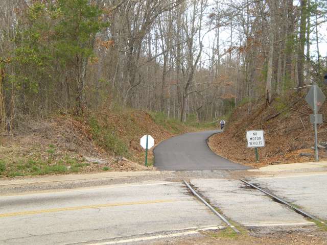
Swamp Rabbit Trail Late March 2010 Duncan Chapel Road ahead. |
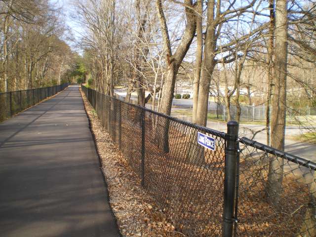 |
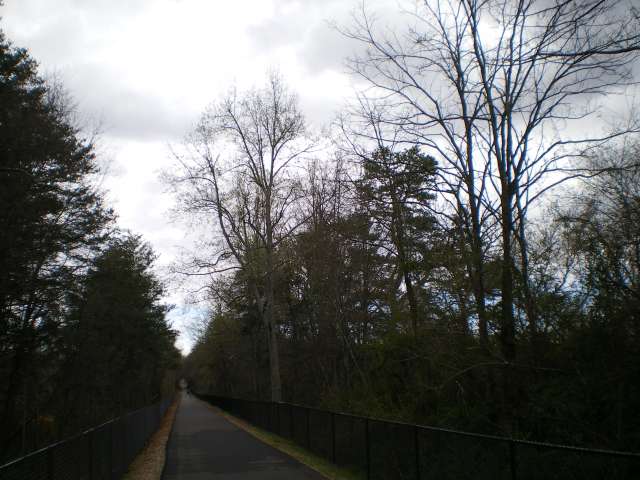
Swamp Rabbit Trail Late March 2010 When Nixon went to China, Chou En-lai showed him the Great Wall. Nixon said, "The Great Wall is really a ... great wall!" If Nixon came to Greenville, I would show him the Long Fence. |
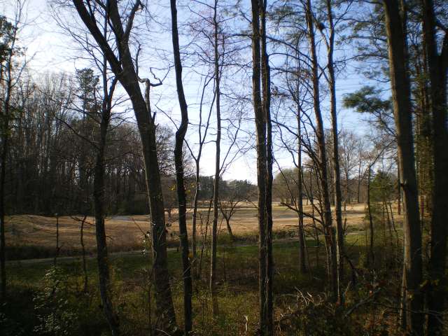 |
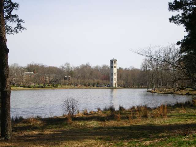
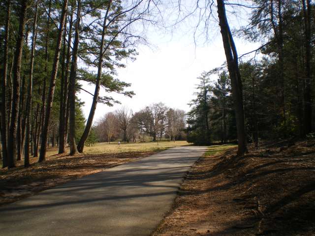
Swamp Rabbit Trail Late March 2010 Furman golf course, seen from the Swamp Rabbit Trail. |
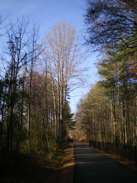 |
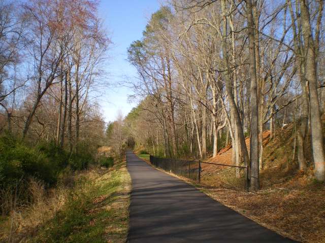
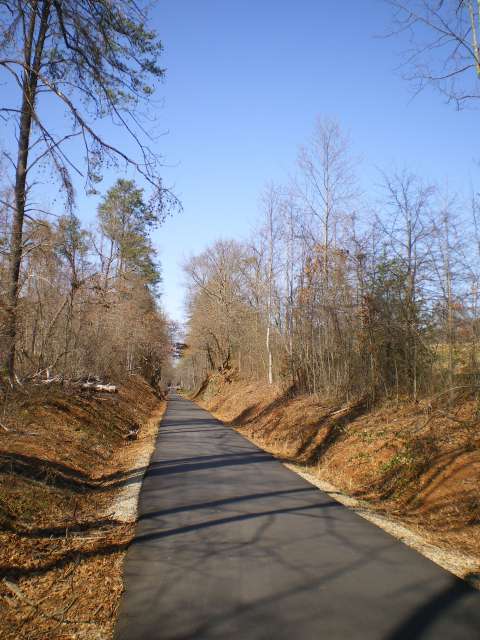
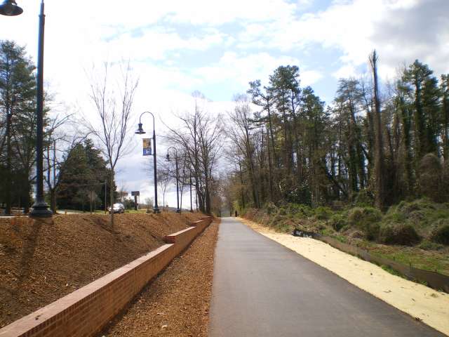
Swamp Rabbit Trail Late March 2010 Looking north on the trail, near Furman. |
 |
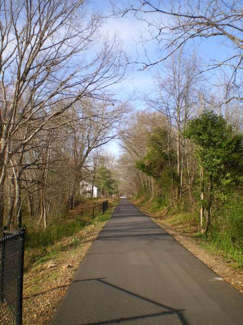
Swamp Rabbit Trail Late March 2010 The Woodlands. |
 |
Swamp Rabbit Trail Late March 2010 Looking north at Old Roe Ford Road crossing. |
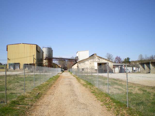 |
Swamp Rabbit Trail Late March 2010 Former W. R. Grace facility, after trail crosses Roe Ford Road. |
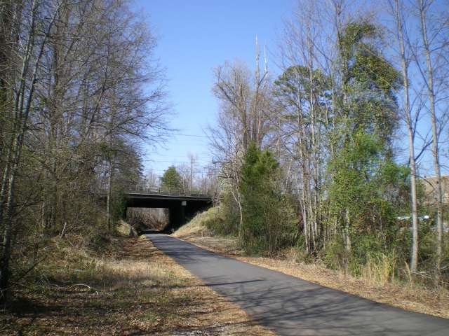 |
Swamp Rabbit Trail Late March 2010 Bridge at Highway 25. |
 |
Swamp Rabbit Trail Late March 2010 Heading north after passing under the Highway 25 bridge. |
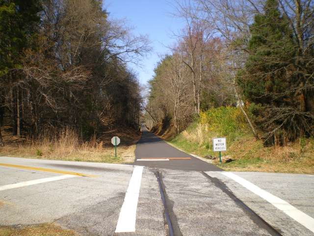 |
Swamp Rabbit Trail Late March 2010 Crossing at Old Buncombe Road. |
 |
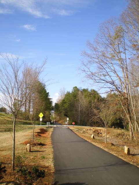
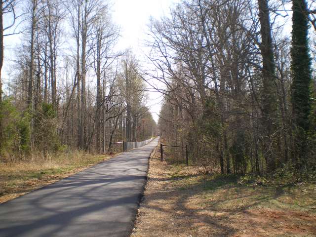
Swamp Rabbit Trail Late March 2010 In Travelers Rest, almost to McElhaney Road. |
Part II: Travelers Rest South to Watkins Bridge Road
 |
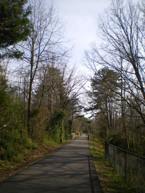
Swamp Rabbit Trail Late March 2010 At McElhaney Road in Travelers Rest, looking south. |
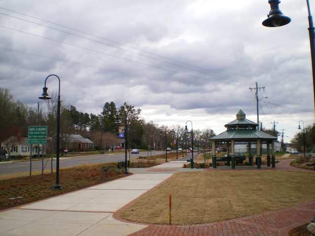 |
Swamp Rabbit Trail Late March 2010 In Travelers Rest, along Highway 276, going south. |
 |
Swamp Rabbit Trail Late March 2010 Going south along Highway 276 towards the BP station. |
 |
Swamp Rabbit Trail Late March 2010 South of BP station, looking south. |
 |
Swamp Rabbit Trail Late March 2010 Just past the Old Buncombe Road crossing. |
 |
Swamp Rabbit Trail Late March 2010 On the left is one of several access points to the Furman campus. |
 |
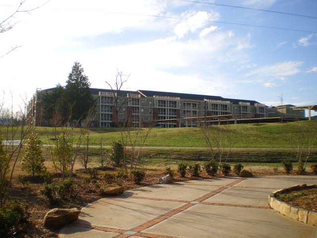
Swamp Rabbit Trail Late March 2010 Off-trail: taking a detour onto the campus at Furman. |
 |
Swamp Rabbit Trail Late March 2010 Off-trail: still on the Furman campus. |
 |
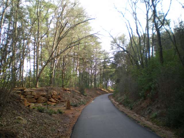
Swamp Rabbit Trail Late March 2010 South of Duncan Chapel Road. |
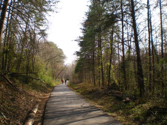 |
Swamp Rabbit Trail Late March 2010 Going south, between Duncan Chapel Road and Watkins Bridge Road. |
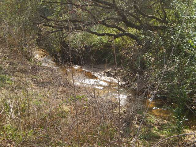 |
Swamp Rabbit Trail Late March 2010 A stream that flows into the Reedy River. |
 |
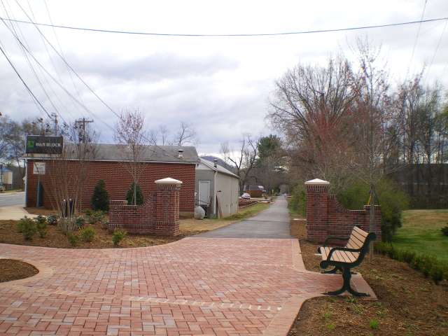
Swamp Rabbit Trail Late March 2010 Coming to Watkins Bridge Road, the end of the paved section of the trail. |